 |
| There's that random guy with the skull belt buckle again |
Day #3 Continued
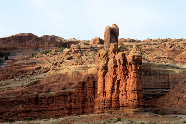
After Balanced Rock, we continued toward the true rockstars of Arches National Park, the sandstone arches. I mentioned the horsts and grabens in a previous post. These formations weather into enormous sandstone fins. The fins are long and narrow raised sections of rock. Many things factor into the creation of an arch, and not all arches are created the same way. One of the major ways an arch is created is for softer rock at the bottom or middle of a fin to weaken over time and fall out, leaving the harder, more durable rock as an arch above. All over this part of Utah you see arches in all stages of their formation. Eventually, the arch cannot withstand it's own weight and it will collapse. In fact all of the arches in Arches National Park will eventually collapse. The good news is that new arches are continually being created, so it's not likely that this park will ever be called "The National Park Formerly Known as Arches."
Stop #6: The Windows, Turret Arch and Double Arch
The next stop was a high volume stop. We went to the Windows, which are two arches very similar and very close to each other. It was a short hike around. In addition to the Windows, there were a couple of other arches opposite them, one was called Turret Arch and I don't know what the little one next to it was called. It was a very easy walk to get to these arches, and what I found was that we were allowed to hike up under most of the arches in the park if we felt inclined to do so.
As we hiked to the windows, we passed by a feature that appeared to be an arch forming, but was still a cave. We asked ourselves if it was a true arch or just a cave. One of the signs we had read suggested that some features that looked like caves were really arches but had a wall of other rock behind it so close that you couldn't tell. As we got further down the trail, and had a different angle on the feature, we saw the telltale sunlight filtering down from the top, behind the arch. It was indeed an arch.
Before we hiked to The Windows, we needed to take a potty break. There were two vault toilets at that site, but one was out of order. The Park Service was there and they were working on the other toilet. Turns out that a lady had locked herself in the vault toilet and couldn't get out. They had to take the door apart to get her out. How do you talk about a vacation like that? I dunno.
 |
| Climbers climbing a big rock at Garden of Eden |
 |
| There was a valley full of these features, remnants of an earlier period where maybe more arches once stood |
 |
| This is either a cave or an arch, we didn't hike over to investigate |
 |
| This was definitely an arch |
 |
| Caves or arches? To the right of the center cave there is a broken rock that appears to be an arch in embryo |
 |
| Now we're getting somewhere |
 |
| Signage |
 |
| Sign telling how it's done |
 |
| Is this an arch or is it a cave? |
 |
| It's an arch |
 |
| South Window Arch |
 |
| There's a mini, thrown in at no extra charge |
 |
| The approach to Turret Arch |
 |
| A more straight on view |
 |
| Bonus arch next to Turret Arch |
 |
| Underneath Turret Arch |
 |
| The Hot Chick in front of Turret Arch (from the other side) |
 |
| Looking across the valley at some other arches |
 |
| The Two Window Arches as seen through Turret Arch |
 |
| North Window Arch |
 |
| South Window Arch |
 |
| Underneath South Window Arch |
 |
| The Hot Chick in the foreground to show scale |
 |
| This is the view from the arch, looking out on the other side |
After the Windows, we hiked across the valley to Double Arch. It was less than a mile. This stop is a high yield stop. Tons of arches. Double Arch is what is called a "pothole arch." In other words a pothole forms on top of a formation and deepens over time. When the acidic water encounters the weaker rock below, the erosion picks up in a blistering pace, at least geologically speaking. What ends up happening is a double arch which looks kind of like a Y.
Out in the sun it was starting to get pretty hot, but in the shade under the arches it was quite pleasant, maybe even brisk.
 |
| Sign at the trailhead |
 |
| Random Archiness |
 |
| Sign describing how a 'pothole' arch is formed |
 |
| First view of Double Arch. They could have given it a more creative name |
 |
| Cave or arch? |
 |
| Double Arch again |
 |
| Not sure if this qualifies as an arch |
 |
| While we were at Double Arch, the Hot Chick found the smallest arch in the park |
 |
| Under the first arch |
 |
| Under the second |
 |
| This was quite big |
 |
| Shot of the valley, framed by the second arch in Double Arch |
 |
| The junction between the two arches |
 |
| Are these caves or arches? Won't know till I hike to them |
Stop #7: Delicate Arch Viewpoint
Delicate Arch is the star attraction of Arches National Park. It is the symbol of the park, the State of Utah and is featured on their license plates. It's almost overused. I needed to see for myself if that was the case.
There are two ways to view Delicate Arch. You can hike right up to the arch or you can view it across the valley from a very good viewpoint. Because we were crunched for time, we decided not to hike to Delicate Arch this time. We will do so on a future trip. We did use the viewpoint, and I can tell you it was pretty incredible. Delicate Arch is a free standing arch whereas most of the other arches are contained within a fin. In this case, Delicate Arch is all that is left of a fin. It was spectacular. Delicate Arch looks way better in person than it does on the license plate.
There is a lower viewpoint and an upper viewpoint. Both are good and we did both of them.
 |
| Rock formation with good light on the road to Delicate Arch |
 |
| Random sign for no reason |
 |
| Delicate Arch with a scarecrow from Planet of the Apes underneath it |
 |
| Red wildflowers. I'll identify them someday |
 |
| Stone joinery on the stairs in the trail to the upper viewpoint |
 |
| That green stuff is oxidized iron mixed with organic materials, at least that's what the ranger said |
 |
| Quartz among the sandstone |
 |
| Delicate Arch from the upper viewpoint |
 |
| Delicate Arch and the other remnants of the fin that it was created from |
The Rest of the Stuff: The Fiery Furnace, Skyline Arch and the Hasty Retreat
There are only eighteen miles of paved roads in Arches National Park and we drove over all eighteen the day we were there. Another time we'd like to go and take some of the longer hikes. I was in awe of this place, and really want to come back some day.
We stopped at a place called The Fiery Furnace which looks a lot like The Needles of Canyonlands National Park. There are ranger guided tours there every day, but we didn't go on one this time. Apparently within the Fiery Furnace, there are many arches that the ranger takes you to.
At the end of the road is a campground with trails to other arches. On the way there, I saw a pullout with yet another arch, this one called Skyline Arch. Apparently, sometime in the 1940's, a big boulder fell out of Skyline Arch and doubled the size of the arch. That doesn't happen very often, so this was a big deal.
When we got to the campground, because of road construction, the campground was closed and the roads to the other arches were inaccessible. There was a short hike to another arch, but when we got there, the ranger told us there wasn't enough time for us to hike to it and vacate the park, so we got back in our jalopy and drove out. We didn't quite get the golden hour, but there was good sun for photos on the way out of the park.
 |
| The Fiery Furnace |
 |
| Cool rocks in the furnace |
 |
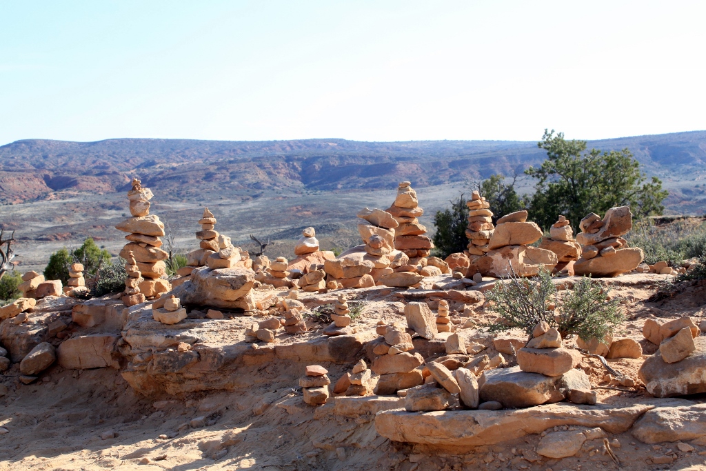
| Helpful cairn builders |
 |
| at it again |
 |
| There were signs all over the place |
 |
| Love the rock layers here, in addition to the aerial perspective |
 |
| Fins |
 |
| Random arch along the road |
 |
| Skyline arch |
 |
| Pesky sign |
 |
| Campground among the fins. Imagine camping in a place like this. Awesome |
 |
| More fins |
 |
| Random arch or cave or something |
 |
| Rocks along the path of our retreat |
 |
| Getting close to better light |
 |
| Closer to better light |
 |
| There's some better light |
Last Stop of the Day: Glyphs
As I was looking at the map, when I planned this trip, I noticed that just outside of Moab there is a scenic drive that features more petroglyphs. Since it was only 6:30 when we vacated the park, we decided we should go and see these glyphs.
We started our day seeing modern day petroglyphs at Wilson Arch and we ended our day seeing ancient petroglyphs along Highway 279.
The glyphs we saw at Wilson Arch had a real "Dave was here" kind of feel. I've wondered since then if that was the hidden meaning of the ancient glyphs. Maybe we're trying to read more into them than is really there. Maybe they are just graffiti. Maybe if we could translate them they'd say "Og was here." Even so, I loved them and we spent quite a bit of time with them.
 |
| Bighorn sheep |
 |
| Collection of glyphs |
 |
| Spirals and concentric circles are major symbols |
 |
| This guy is obviously a big deal |
 |
| Interesting |
 |
| Fat guy with horns |
 |
| Signage |
 |
| Hundreds of glyphs |
 |
| We are the world |
 |
| Interesting headdress |
 |
| Look at the earrings |
 |
| Incredible assortment of glyphs |
 |
| It kept going |
 |
| Og was here |
 |
| My favorite glyph of all we saw on this trip. A bear with hunters. |
Arches and Canyonlands. Two parks that are so similar and yet so dissimilar. The scenery is really incredible in southern Utah. We will go back. There are three more national parks we need to see and a few national monuments.
On our way back to the motel in Monticello, we saw a side road that said, "Needles Overlook." We decided we'd see that on the way home the next day. We were not disappointed. The overlook will be the subject of the last post of this vacation trip. Until then, bye.


No comments:
Post a Comment